

Campground pitch for clay district at upcoming MPC
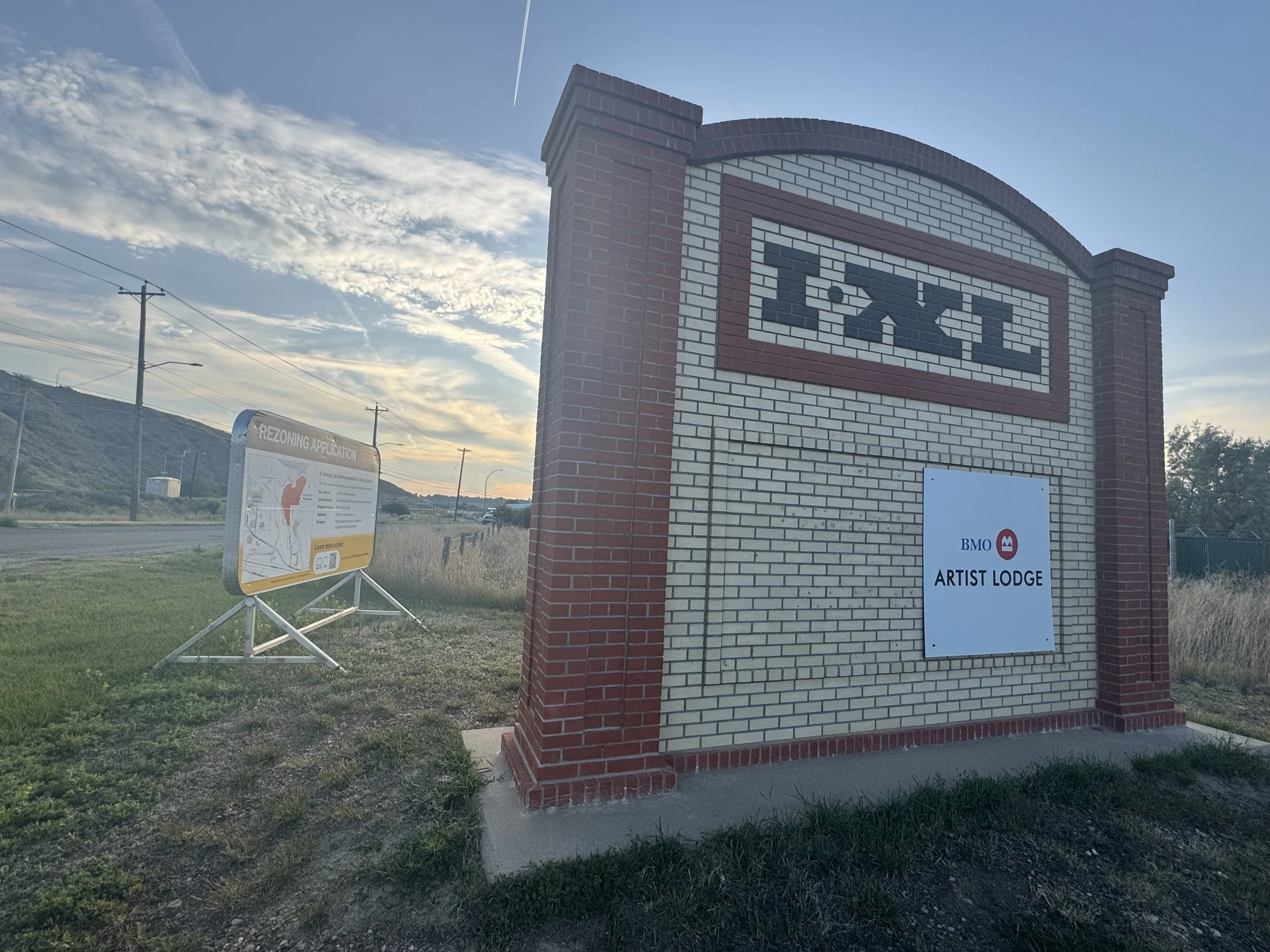
The entrance to the I-XL plant at the intersection of Porcelain Ave. and Hwy. 41A. A private developers is proposing a campground at the end of Porcelain Ave. near the confluence of the Ross and Seven Persons creeks. (Photo Alex McCuaig)
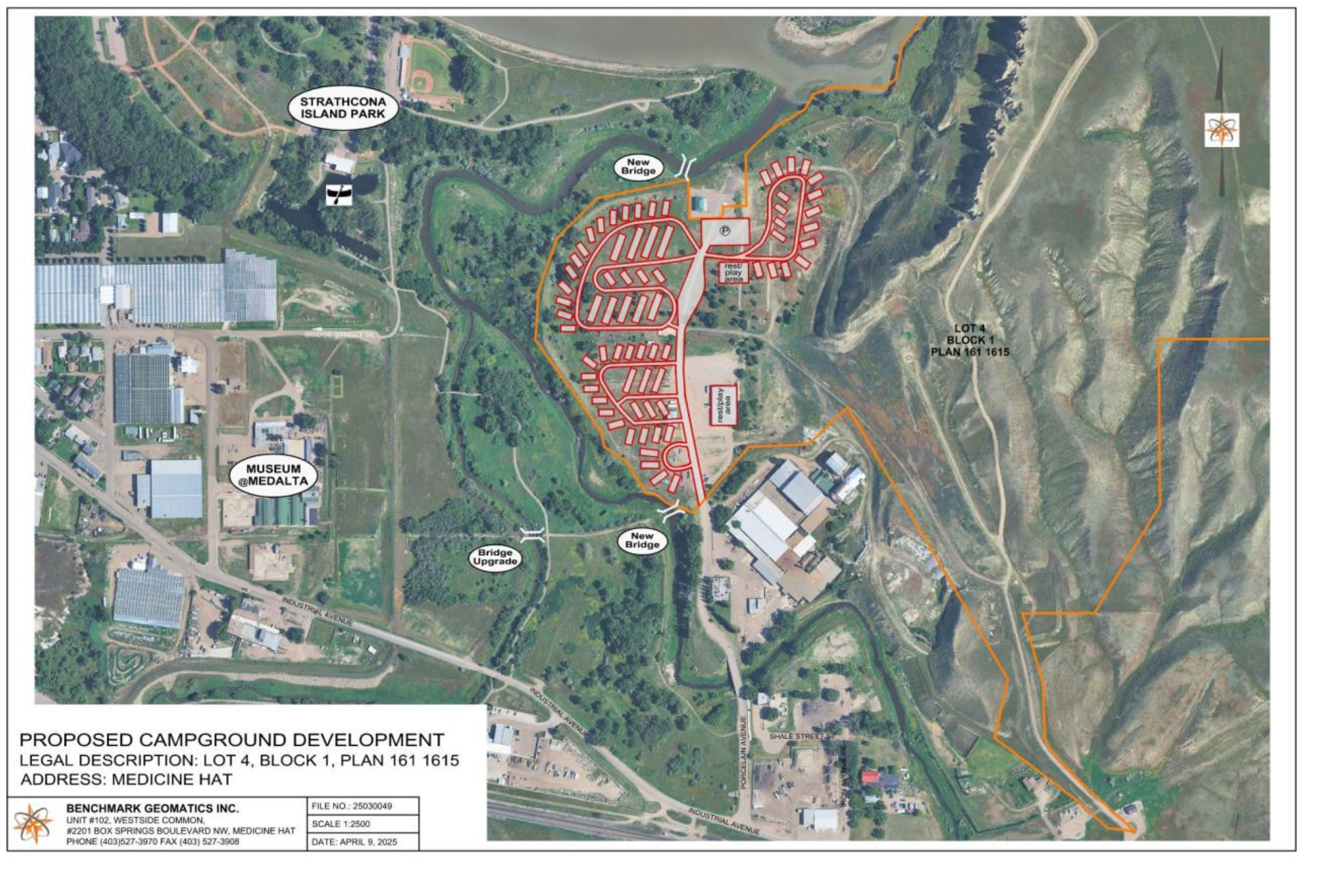
A private developer is proposing to turn a portion of an under-utilized part of the former I-XL land into a campground.
The land, currently owned by a Redcliff-based businessman, is located at the end of Porcelain Avenue, running adjacent to the confluence of the Ross and Seven Persons creeks near where they meet the South Saskatchewan River.
The city’s Municipal Planning Commission (MPC) will be debating allowing re-zoning of the land for the development of a campground at its Wednesday meeting.
The high-level diagram submitted to the MPC shows more than five dozen camping spots.
The initial proposal includes two bridges which would connect to the city’s multi-use trail – one at the site of the old rail bridge to I-XL which was washed out during the 2010 flood and another linking to the Strathcona Island trail.
“This would be a mix of fully serviced and limited-service campsites allowing for some year-round camping spots,” reads the developers submission. “This is in light of the amazing landscape and backdrop this land features and tourism in the area should definitely pick up with neighbouring Medalta and connection to the city’s trail system,”
Most of the lands of the I-XL plant were transferred to the Friends of Medalta Society following the industrial facility’s closure due to the catastrophic 2010 floods. The former storage area and buildings at the end of Porcelain Avenue, however, were transferred into private ownership.
The site is currently being used as an automotive repair facility which, under the current application, the main building being used for that business would continue to be under a Business Industrial Zone. The remaining part of the land would remain under Direct Control zoning.
The proposed site is located within the provincially designated “flood fringe” with imposition of protective measures at the discretion of city council.
If the land-use amendment is passed, further and more detailed information regarding development of the site would be required prior to municipal permits being issued.